File:Saint-Louis centre-ville map-fr.svg
Jump to navigation
Jump to search

Size of this PNG preview of this SVG file: 500 × 600 pixels. Other resolutions: 200 × 240 pixels | 400 × 480 pixels | 640 × 768 pixels | 853 × 1,024 pixels | 1,707 × 2,048 pixels | 750 × 900 pixels.
Original file (SVG file, nominally 750 × 900 pixels, file size: 519 KB)
Captions
Captions
Add a one-line explanation of what this file represents
Summary
[edit]| Description |
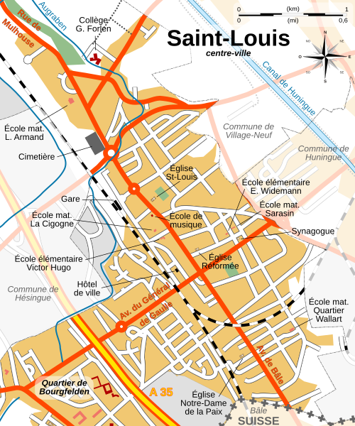
English: Map of Saint-Louis town center, Alsace, France.
Français : Carte du centre-ville de Saint-Louis, Alsace, France.
|
||||
| Date | |||||
| Source | |||||
| Author |
|
||||
| Other versions | |||||
| Attribution (required by the license) | © Sémhur / Wikimedia Commons / | ||||
| SVG | W3C-validity not checked.
|
||||
| Graphic Lab |

| Camera location | | View this and other nearby images on: OpenStreetMap |
|---|
Licensing
[edit]
I, the copyright holder of this work, hereby publish it under the following licenses:
| Copyleft: This work of art is free; you can redistribute it and/or modify it according to terms of the Free Art License. You will find a specimen of this license on the Copyleft Attitude site as well as on other sites. |
This file is licensed under the Creative Commons Attribution-Share Alike 4.0 International, 3.0 Unported, 2.5 Generic, 2.0 Generic and 1.0 Generic license.
- You are free:
- to share – to copy, distribute and transmit the work
- to remix – to adapt the work
- Under the following conditions:
- attribution – You must give appropriate credit, provide a link to the license, and indicate if changes were made. You may do so in any reasonable manner, but not in any way that suggests the licensor endorses you or your use.
- share alike – If you remix, transform, or build upon the material, you must distribute your contributions under the same or compatible license as the original.
You may select the license of your choice.
Original upload log
[edit]
This image is a derivative work of the following images:
- File:Saint-Louis_Haut-Rhin_map-fr.svg licensed with Cc-by-sa-3.0,2.5,2.0,1.0, Cc-by-sa-3.0,2.5,2.0,1.0
- 2009-01-14T14:34:13Z Sémhur 2143x2486 (350844 Bytes) {{Information |Description={{en|1=Map of [[:en:Saint-Louis, Haut-Rhin|Saint-Louis]], Alsace, France.}} {{fr|1=Carte de [[:fr:Saint-Louis (Haut-Rhin)|Saint-Louis]], Alsace, France.}} |Source=travail personnel (own work). Sourc
Uploaded with derivativeFX
File history
Click on a date/time to view the file as it appeared at that time.
| Date/Time | Thumbnail | Dimensions | User | Comment | |
|---|---|---|---|---|---|
| current | 18:56, 18 January 2009 | | 750 × 900 (519 KB) | Sémhur (talk | contribs) | école maternelle V. Hugo => école élémentaire |
| 14:52, 14 January 2009 |  | 750 × 900 (659 KB) | Sémhur (talk | contribs) | without the bitmap... | |
| 14:48, 14 January 2009 |  | 750 × 900 (659 KB) | Sémhur (talk | contribs) | {{Information |Description={{en|1=Map of Saint-Louis town center, Alsace, France.}} {{fr|1=Carte du centre-ville de Saint-Louis, Alsace, France.}} |Source=*[[:File:Saint-Louis_Haut-Rhin_map-fr |
You cannot overwrite this file.
File usage on Commons
There are no pages that use this file.
File usage on other wikis
The following other wikis use this file:
- Usage on fr.wikipedia.org